Sweet Trails Alabama is a collaborative initiative to create Alabama’s first statewide trail plan through efforts on state, regional, and local levels. The Public Draft of the Sweet Trails Alabama (Statewide Trails) Plan has recently been released. The plan, to be completed this summer, will identify a trail network spanning a large portion of the state. The trail will offer a variety of uses such as hiking, biking, equestrian, OHV, and paddling.
“The entire Sweet Trails Alabama Team is proud to share the Public Draft of the Sweet Trails Alabama (Statewide Trails) Plan. Thank you to the thousands of you who have participated and/or followed in this process,” shares Sweet Trails Alabama.

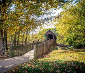
(Freshwater Land Trust/Contributed)
The Public Draft takes into consideration the comments and preferences of dozens of voices throughout the state. Building upon the progress made by the Alabama Statewide Comprehensive Outdoor Recreation Plan, the comprehensive Plan reflects the goals of leadership, trail users, and Alabama residents.
By releasing the draft to the public, Sweet Trails Alabama is hoping to receive input from residents across Alabama.
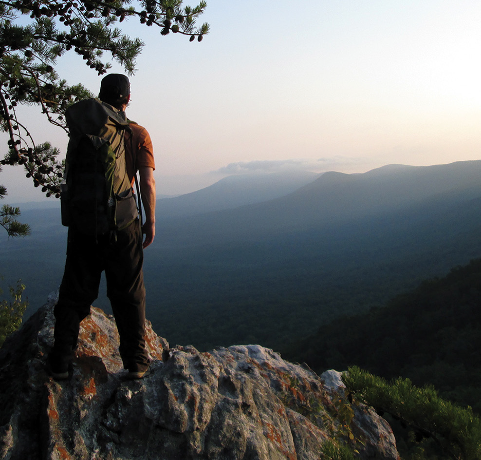
(Sweet Trails Alabama/Contributed)
The Public Draft will be available to the public until July 16th. During this timeframe, The Sweet Trails Alabama team asks that all comments be submitted for consideration. After July 16th, the Sweet Trails Alabama team will complete a finalized plan that addresses the feedback provided. The public can access the Public Draft here.
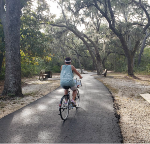
(Singing River Trail/Contributed)
Here are a handful of the Plan’s top highlights.
- The draft trails network connects all 67 counties, all National Forests in Alabama, ten of Alabama’s eleven National Wildlife Refuges, 128 state parks and Forever Wild lands, and 341 municipalities.
- The draft trails network represents just over 7,800 miles of trails across our great state.
- The network introduces 6,312 miles of proposed trails and incorporates 708 miles of existing shared-use paths or natural surface trails and 827 miles of gravel roads.
- The proposed trail network is diverse and includes greenways, gravel roads, and natural surface trails to provide a range of experiences for all trail users.
- Throughout the 9-month planning process, the project team collected 1513 surveys, held 22 in-person meetings, and hosted 40 virtual sessions to hear from stakeholders.